


Nature and geography
Markets. Chichicastenango. Chapter III


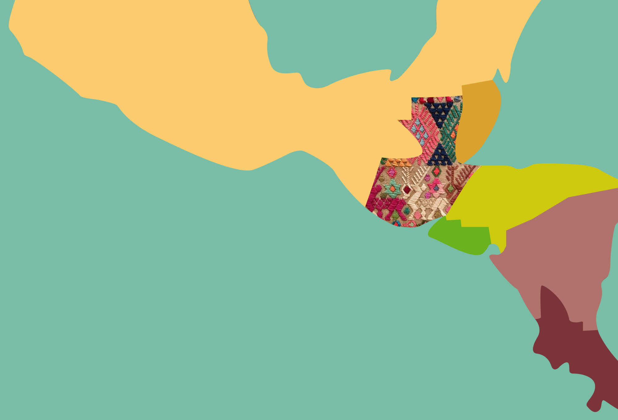

Guatemala is located in the very center between North and South America, bordered by Mexico, El Salvador, Honduras and Belize. It is surrounded by the Caribbean Sea and the Pacific Ocean, with the ocean’s coastline being much longer.
Guatemala
Mexico
Belize
El Salvador
Honduras
Nicaragua


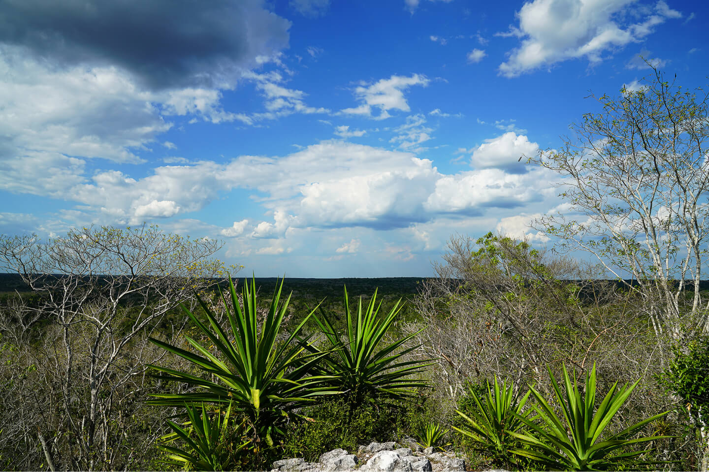
The country is characterized by a wide variety of natural areas: there are mountains, lowlands near the ocean, and valleys. The climate differs by zone, but everywhere there is very rich flora and fauna.

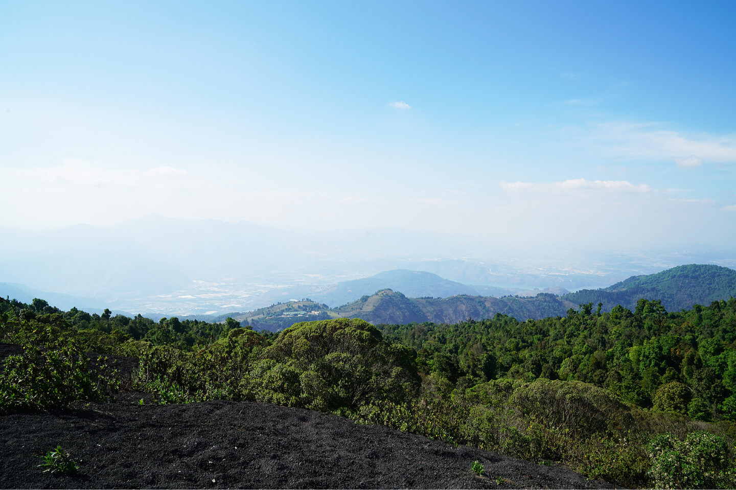
The highest peak in Central America, the Tajumulco volcano (4,217 m), is situated in Guatemala. There are 36 other volcanoes in the country, including active and the highest in the world.
El Mirador, Petén Department. 2018.
Pacaya volcano, Guatemala suburbs. 2018.

It is also home to the largest endorheic lake in Central America (and perhaps the most picturesque) – Lake Atitlán.
Santiago Atitlán, Sololá Department. 2018.
Guatemala is the geographical center of the ancient Maya civilization.

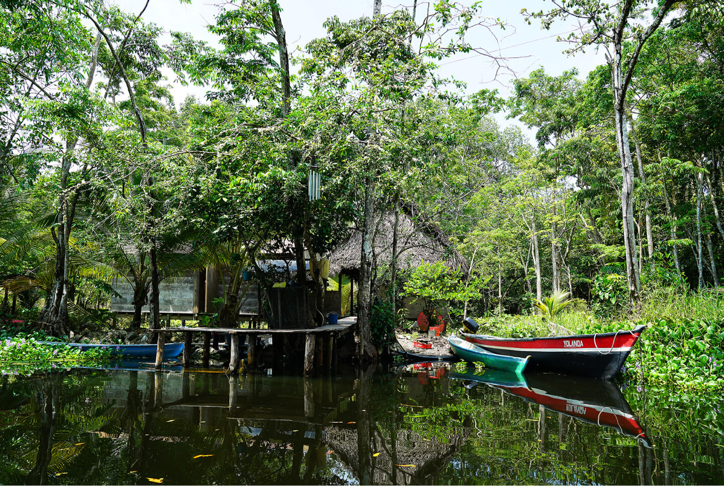
Livingston, Izabal Department, Qʼeqchiʼ Maya, 2018.
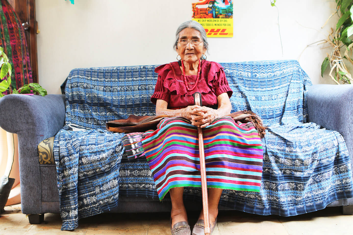
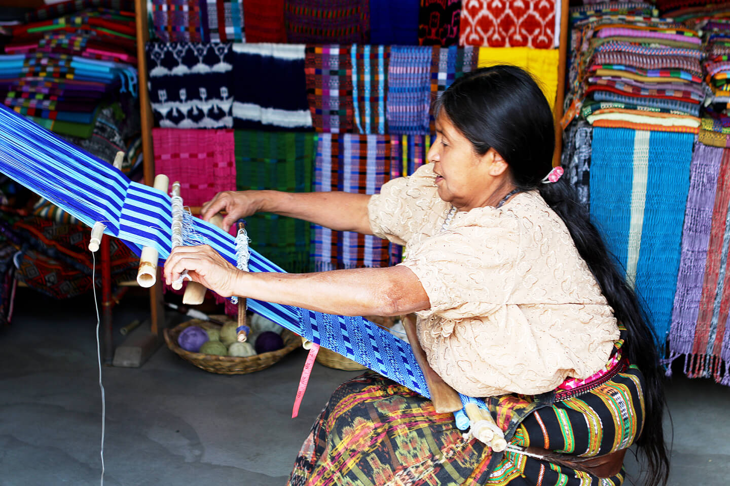
Nowadays, Guatemala is, perhaps, the most "Mayan" country in all of Central America, especially in terms of the continuity of traditions and the number of descendants of the ancient civilization living there. However, there are some peculiarities in how cultural artifacts and traditions have been preserved to this day.

Maya territory is a part of a high plateau with volcanoes and mild climate, a flat plain and a zone between them. The climate in these areas is quite mild and the lands are fertile. Therefore, it comes as no surprise that millions of residents could cluster in Maya cities (10–15 million of people according to some experts).
Ancient Maya civilization occupied the territory of modern Guatemala, Belize and the Yucatán Peninsula, but also extended its influence to Honduras, other parts of Mexico and the Indian tribes of neighboring states.
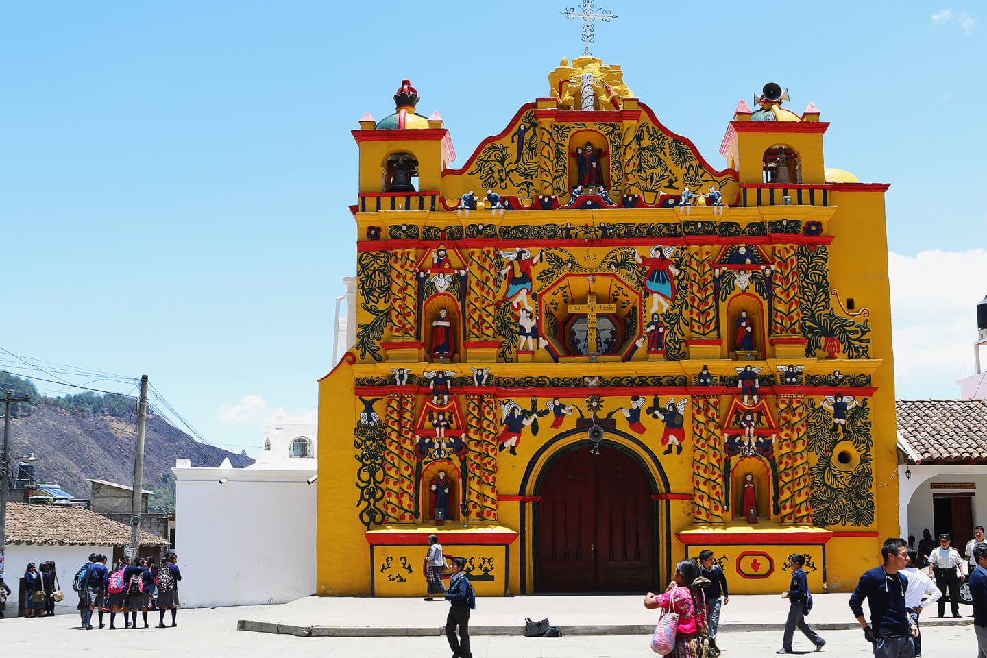
San Andrés Xecul, Totonicapán Department, Kʼicheʼ Maya. 2018.
San Juan La Laguna, Sololá Department. 2018.
San Juan La Laguna, Sololá Department. 2018.
San Juan La Laguna, Sololá Department. 2018.


Contacts
Anthropogeos. 2022
Events
Project